

📱 Looking to do this in the HiiKER app? See How to use the main map in the app.
The interactive map at hiiker.app/map is the heart of the HiiKER website. It’s free for everyone — pan around, discover trails, and inspect the terrain before you commit to a hike.
In this article: Map controls · Map styles · Overlays · Map tools
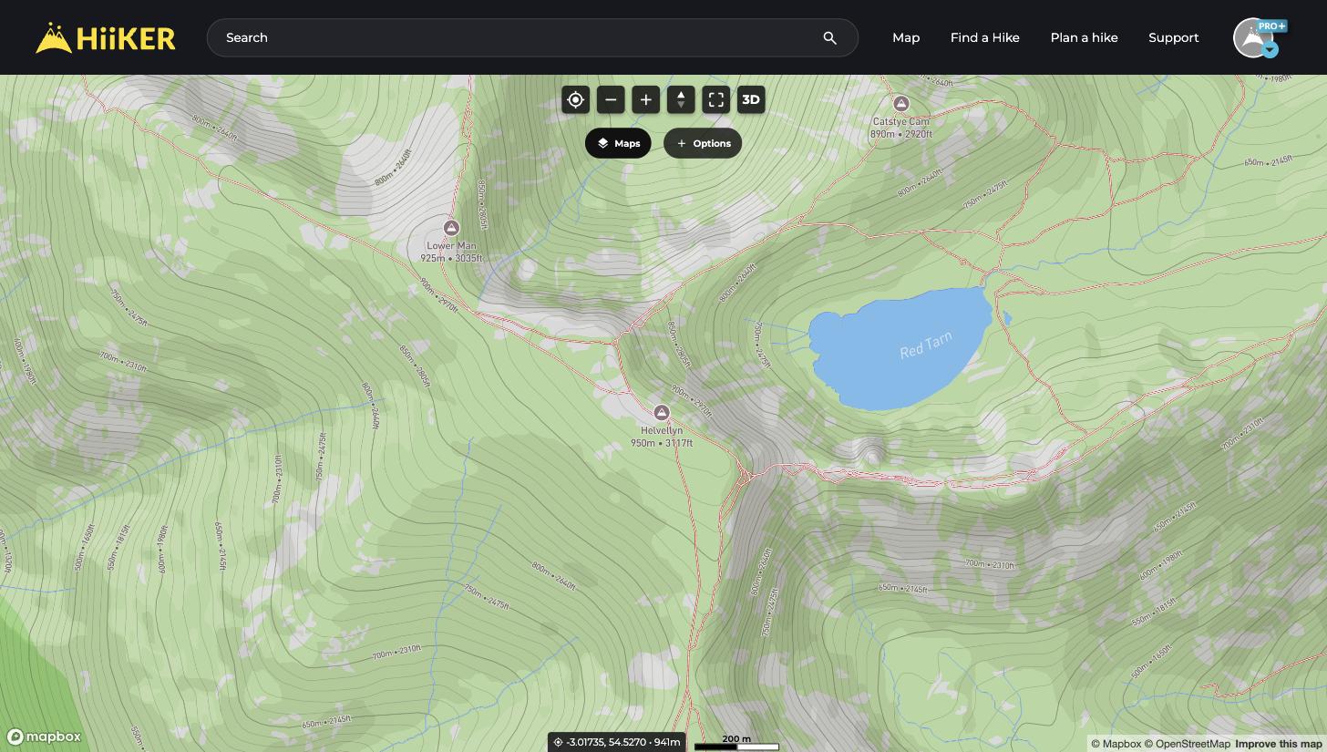
Getting around the map
The controls at the top of the map (left to right):
- My location — centre the map on where you are.
- Zoom out / in — or use your mouse wheel or trackpad.
- Tilt — adjust the camera pitch.
- Fullscreen — hide the browser chrome for a bigger view.
- 3D — fly into a 3D terrain view of the area.
💡 Top tip: Right-click anywhere on the map to copy the GPS coordinates of that exact spot.
Change your map style
- Click the Maps button below the map controls.
- Pick a style under Standard maps — Standard, Satellite, and Parks are free for everyone.
- With PRO+ you also unlock the premium map collections — Hiking+, National+, Historical+, and Lidar.
- Use the 3D Mode toggle at the bottom of the window to stay in 3D as you browse.

Add overlays to the map
In the same window, the Overlays tab lets you layer extra information over any map style:
- Data overlays — Heat Maps, Slope Angle, Cell Towers, Official Hikes, Public Access US and Cycling Routes.
- Weather (PRO+) — Temperature, Cloud Cover, Rainfall, Snowfall and Wind.
- My Hikes — show your own Recordings, Planned and Completed hikes on the map.
- For what each one shows, see HiiKER map overlays: the full list.

Map tools
Click the Options button to open the map toolbox:
- Plan a hike — jump into the Hike Planner from your current view.
- Waypoints — create and manage your own markers.
- Go to location — jump to a place name or exact GPS coordinates.
- Measurement tool (PRO+) — measure distance and elevation along a line you draw.
- Print hike map (PRO+) — create a printable paper map of the area.
Map information bar and settings
The map information bar sits at the top of the map with three customisable slots showing live data for the crosshair at the centre — coordinates, elevation, distance, bearing to map centre or GPS accuracy. Click the settings icon on the bar to change what each slot shows, pick your coordinate system, and style or hide the crosshair and your location icon.
More map settings live under Maps > More > Map settings, including Lock map to north, map projection and 3D elevation exaggeration. When National+ is your selected style you’ll also find Lock to 1:50k scale there, which keeps National+ on the 1:50,000 series instead of switching to 1:25,000 as you zoom in.
These settings are remembered in your browser, so you’ll need to set them again on a different computer.

